Peter Douglas Trail
Support MLT Trails
Donors like you help make trail projects possible!
AMENITIES
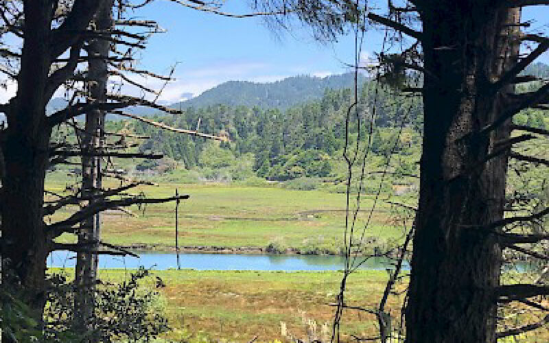
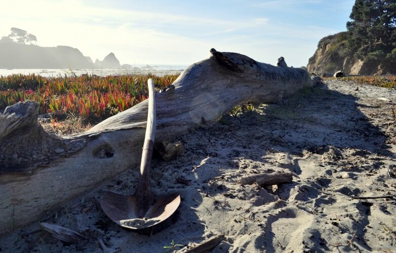
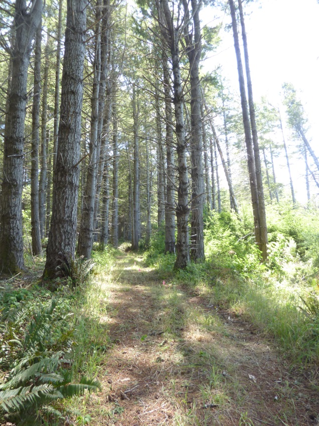
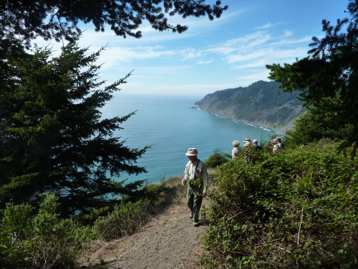
This 2.3-mile trail includes expansive views of Mendocino’s remote and wild “Lost Coast,” deep redwood and Douglas fir forests, and old-growth trees sculpted into bizarre shapes by salty winds. There is magic and mystery present here. It is an all-day excursion to get to this trail from Fort Bragg or Mendocino. Please note that the Usal Road is narrow and rough. Four-wheel drive vehicles recommended.
The Lost Coast Trail continues north of Usal for 53 miles, winding up and down through the Sinkyone Wilderness State Park in Mendocino County and along the beach in the BLM King Range National Conservation Area, ending at the Mattole River in Humboldt County.
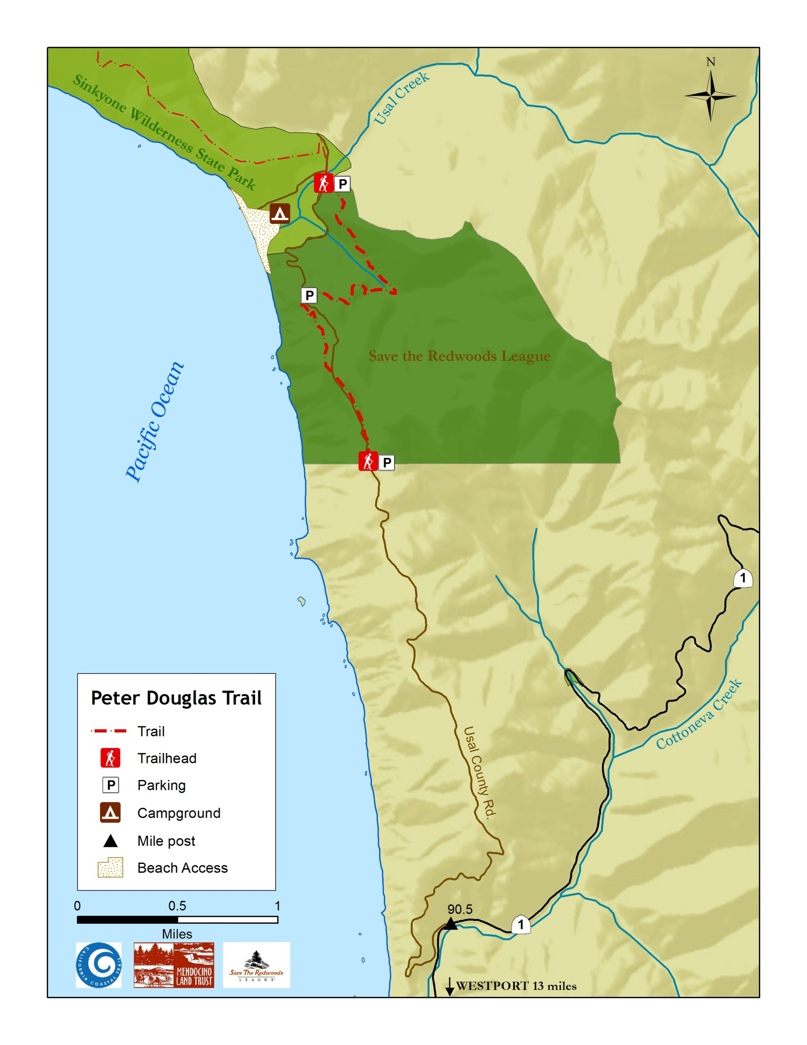
Getting there: Access to the trailhead is via unimproved dirt roads. Four-wheel drive vehicles are recommended. The best time to visit is during the dry season when the road is more accessible. Please check road conditions before taking a trip to Usal by calling the Mendocino County Department of Transportation: (707) 463-4363. The turn-off onto the unpaved Usal County Road is 13 miles north of Westport near Highway 1 milemarker 90.5. From there, allow some time to get to the trailheads. There are two trailheads (see map)
Looking for the candelabra trees? Park near the northernmost Peter Douglas trailhead. It is just before you cross a small bridge to the campground area. (Google maps link) Watch for the sign with the Mendocino Land Trust logo. The trail goes steeply uphill and 10 minutes hike should bring you to the start of the candelabra trees
This location is unlikely to have reliable cellular service. Please plan accordingly and save maps and info to your device while in an area with cell reception.
It is critical that all visitors to this remote area follow “Leave No Trace” principles. Most importantly, pack out ALL your trash (including TP) and bury your poop when outhouses are not available.
Trail History
This wild and beautiful section of the California Coastal Trail is dedicated to the memory of Peter Douglas (1942-2012), who was the Executive Director of the California Coastal Commission for more than 25 years. He was a fierce guardian of California’s 1,100-mile-long coastline, and he battled to preserve its natural beauty and public access to its beaches. He was the main author of California’s landmark coastal protection law, the Coastal Act. It only seems fitting that this trail at Shady Dell be named for him, as a way of honoring his tireless dedication to conserving and protecting for future generations the beautiful California Coast.
Peter would be proud of the collaborative work that led to this trail being built in his name on this remote part of the California Coast. It takes a village, and the California Coastal Conservancy, Coastal Commission, Save the Redwoods League, Mendocino Land Trust, California Conservation Corps, NCCC Americorps, Redwood Forest Foundation, Coastwalk, and many other organizations and individuals played a part in the creation of this trail.
Trail Ecology
It’s not unusual to see Roosevelt Elk and other wildlife near Usal Beach. Also at the north end of the Peter Douglas Trail is a “candelabra redwood forest,” featuring large old trees that the salt and wind have twisted into strange shapes and designs. There are over 300 handmade steps climbing a steep hill in this part of the CCT. Portions of the trail are on old logging roads, enabling friends and family to hike side-by-side if they wish. There is also a bridge across Shady Dell Creek that was built by local craftsman John Koski, with stringers and decking made from locally milled Fort Bragg redwood.




Highway One Mile Marker (south end): 90.6
Trail Length: 2.3 miles
 DOWNLOAD MAP
  OPEN IN GOOGLE MAPS